Hiking Mount Washington and Mount Monroe in winter was both a challenge and a joy. Mount Washington is a beast of a mountain and climbing it in winter was a goal that took plenty of training and determination to accomplish.
Hiking Mount Washington and Mount Monroe in Winter
We drove up Base Station Road and parked at the Cog Railway Base Station. The Cog keeps Marshfield Station open, even in winter, with bathroom facilities and snacks for sale if you need anything. They charge a $10 fee per person for land use and parking. Just go inside the building and buy your passes, they make it really easy. You could choose to park at the Forest Service lot for the Ammonoosuc Ravine Trail, but that would add at least 1.5 unnecessary miles to the hike.
Base Station Road
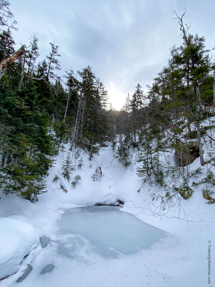
The Ammonoosuc Link Trail is well signed and starts just past the parking lot and buildings by some cabins. It soon joined the Ammonoosuc Trail (Ammo) and we quickly walked the mostly flat 1.3 miles or so along the river to Gem Pool. The day had started out cloudy, but was showing signs of clearing by the minute.
Beginning of Ammonoosuc Trail
Gem Pool
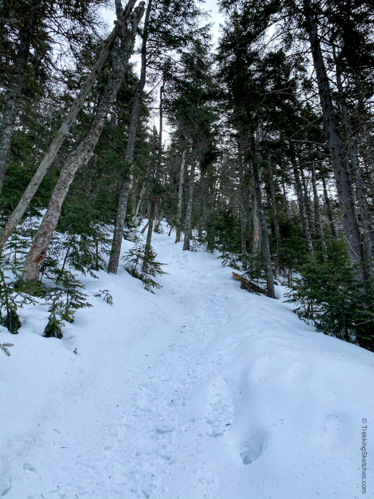
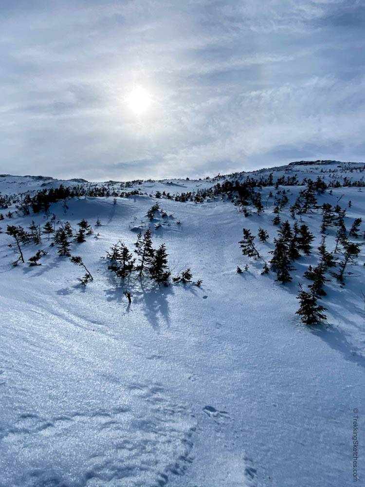
Beyond Gem Pool the trail immediately gets much steeper. We climbed steadily up into the scrubby subalpine zone and then emerged above treeline where a thick layer of ice covered the ground. Obviously, winter traction is a must – we saw some people in all 3 types: snowshoes, microspikes, and crampons. Varying conditions will require different gear to hike safely (you could always rent gear or go with a guided group for more security).
Steeper Ammo Trail Past Gem Pool
Icy Ammo Trail
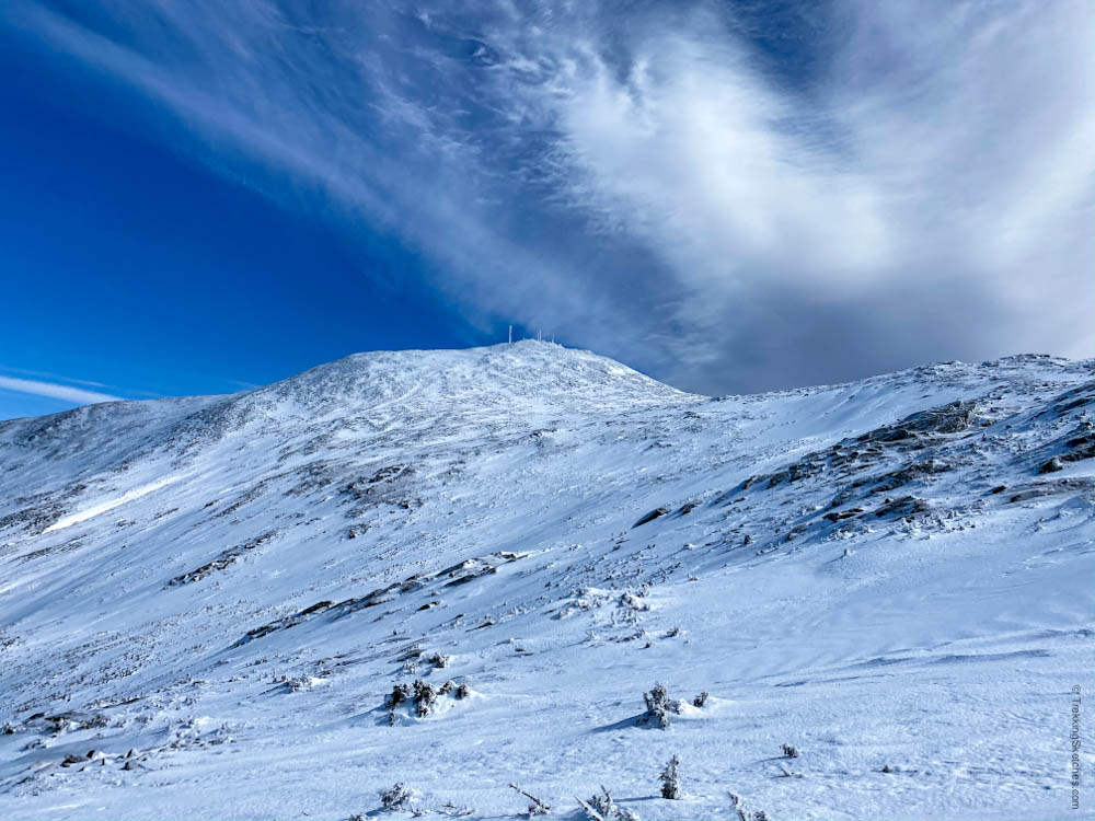
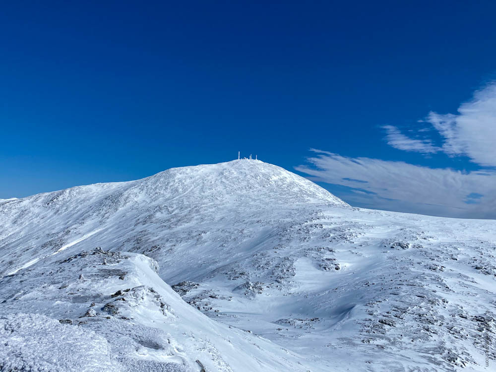
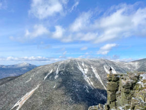
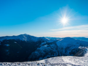
With our first views of Mt. Washington filling us with anticipation, we made our way slowly upward to the Lakes of the Clouds Hut, 2.4 miles total into the hike. The hut does not provide lodging in winter, it is completely boarded up and buried by snow, but it serves as a great windbreak for a rest.
View of Mount Washington from Ammo Trail
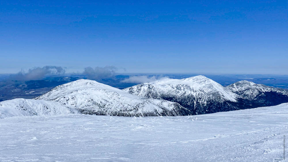
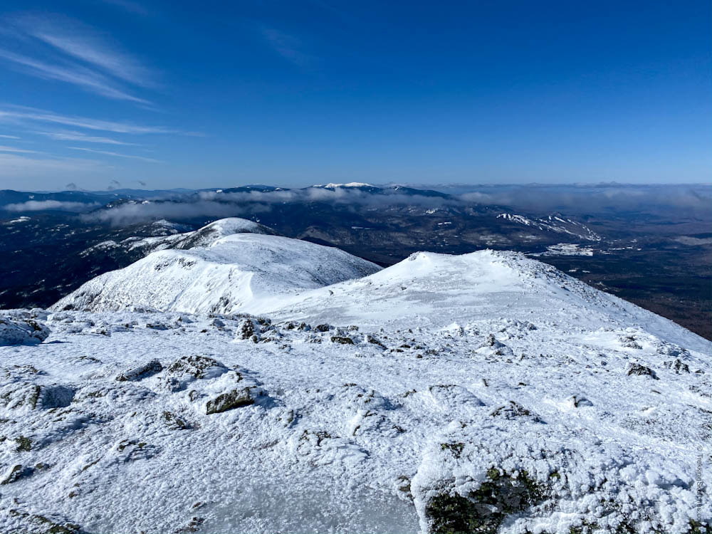
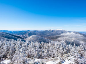
We layered up at the hut, prepared ourselves for the wind, and headed 0.3 mi up to the summit of Mt. Monroe. Even on this “calm” day for the Presis, the 30 mph winds lashed at us as we climbed the exposed slope. Our hard shell jackets, face protection, and goggles were essential in shielding us from the gusts. Only a few clouds remained by the time we reached the summit so we had clear views in all directions. Mt. Washington loomed large behind us and the Southern Presis stretched out to the south. We didn’t stay long as the cold (high of 9°F) and the winds chased us down.
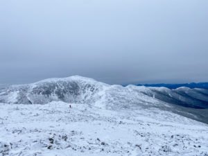
View of Mount Washington from Mount Monroe
View of Southern Presis from Mount Monroe
We descended with careful steps, really digging in our feet and poles for traction on the hard ice. Once refueled at the hut, we were ready for the climb up Mt. Washington.
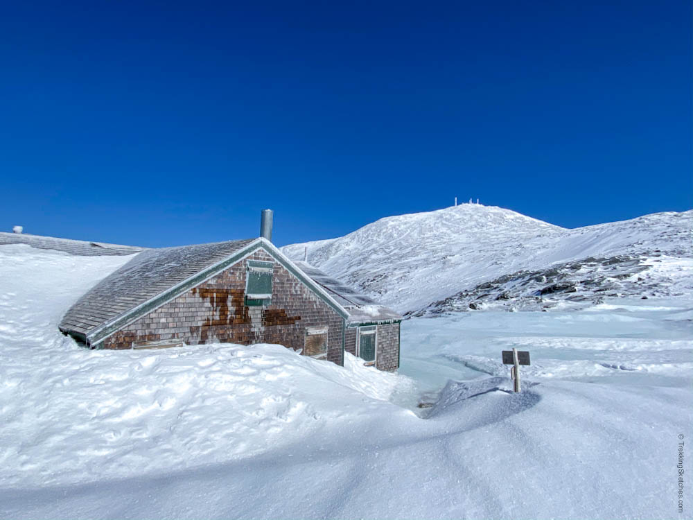
Lakes of the Clouds Hut Buried in Snow
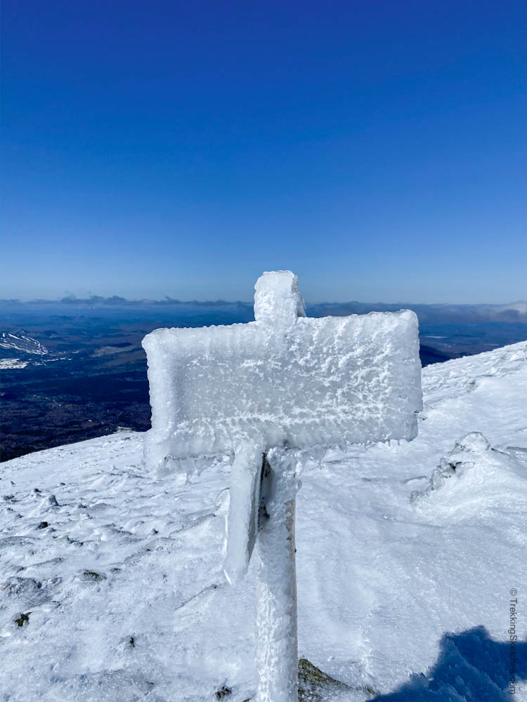
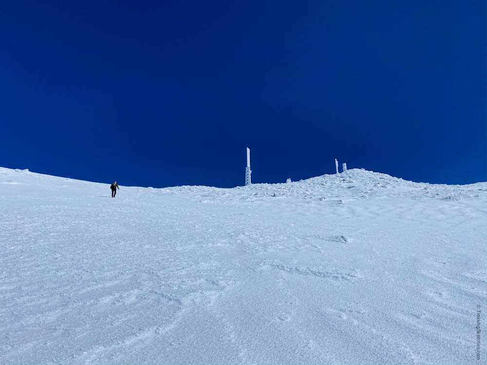
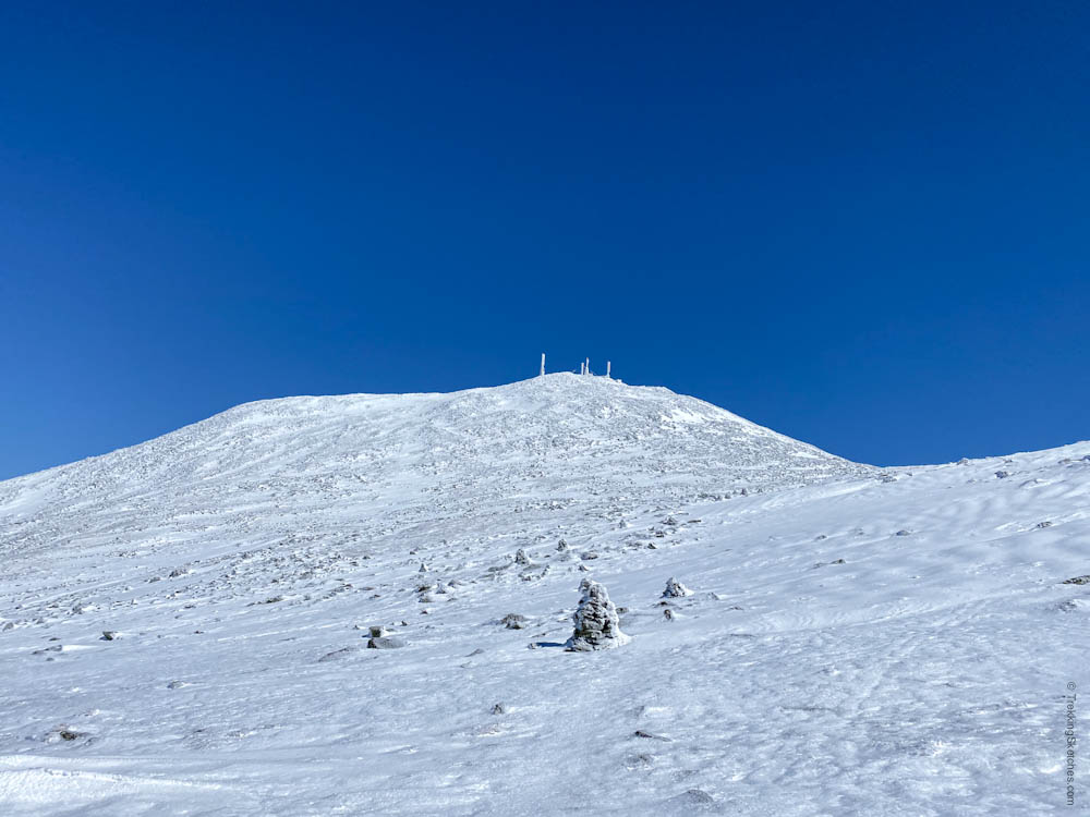
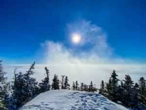
All the clouds had cleared and we began our ascent of Mt. Washington with completely clear skies and a bluebird day. That clear visibility was not only great for views, but also for navigation. It can be a real challenge to follow trails above treeline in the Whites in winter. Cairns are often buried and with the thick ice covering the ground, there weren’t really discernible tracks to follow. The layers of ice can also cover the trail signs making navigation even more challenging. We picked our route and followed the cairns as best we could for 1.1 miles along the Crawford path up the tallest mountain in the northeast.
Cairns Leading to Mount Washington
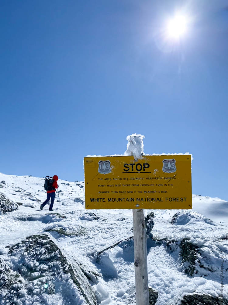
Hiking Past the Warning Sign
Ice Covered Trail Sign
We were treated to incredible sweeping views on the way up, both back toward Mt. Monroe and up toward Mt. Washington. They filled me up in ways I cannot even begin to describe. We could see for days on such a clear day!
Mount Monroe and Lakes of the Clouds Hut
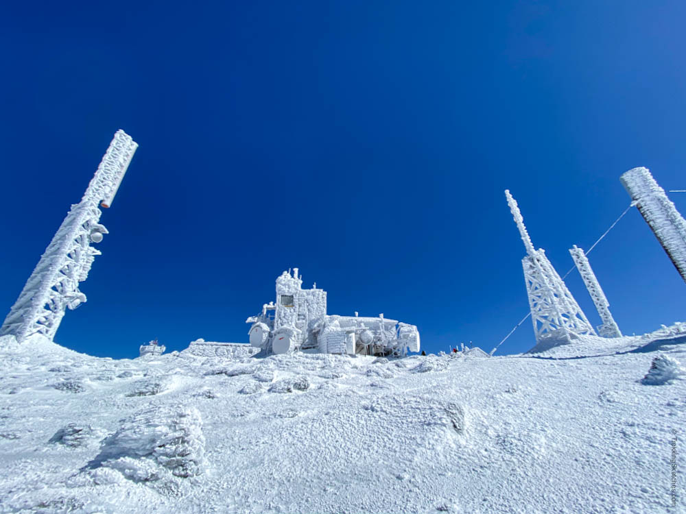
The final push to the summit was very steep and exposed, but we were somewhat sheltered from the winds by the mountain itself. We approached the ice-covered observatory buildings with jubilation and just took in the spectacle of standing in the place with the worst weather in America on a beautiful winter day.
Final Summit Push
Mount Washington Summit Buildings
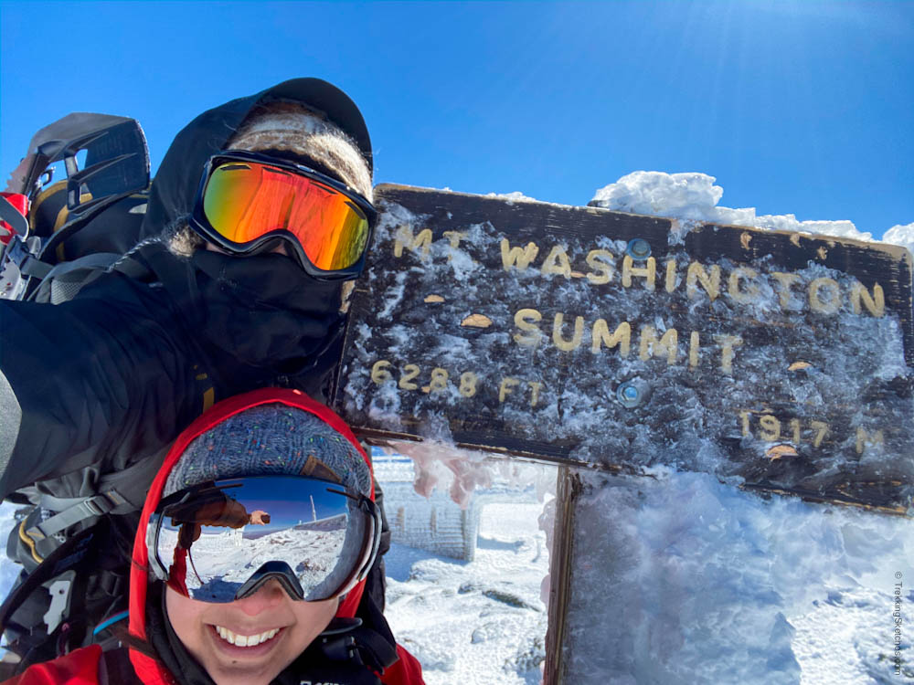
The summit of Mt. Washington was windy, but manageable. The winds actually felt more punishing on Mt. Monroe that day. Even in winter, and especially on such an ideal weather day, there was still a line for the summit sign, albeit very short. We took our photo to document our accomplishment and then ducked behind one of the summit buildings out of the wind for a rest.
Mount Washington Summit!
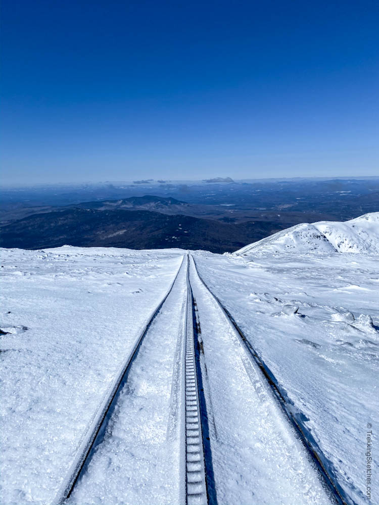
It was easy to follow the cairns down from the summit on such a clear day. After 0.4 miles, we ran into the Cog Railway tracks and followed them down. A word of caution – don’t walk on the actual tracks and be careful crossing if you need to switch to the other side. The railroad ties do not make an even base for the snow on top so you could easily fall through a soft spot.
Cairns Leading Down from Mount Washington
Cog Railway Tracks
Hiking along the Cog, we were treated to more sweeping views, this time of the Northern Presis, Mt. Jefferson, Mt. Adams, and Mt. Madison. It felt great to hike here in winter and compare it to similar views from our summer Presi Traverse.
View of Northern Presis
Some sections of the 2.5 miles down along the Cog were pretty steep and the thick ice made each step a challenge. As always, we recommend being prepared for any trail conditions, particularly in winter. We managed to make it down with only a few minor bumps and bruises from missteps and plenty of sore muscles from the strain of each careful step.
Bottom of Cog Railway
Completing this hike was truly a monumental undertaking and it is not to be taken lightly. We completed many other winter hikes in the Whites over a couple years to develop our knowledge and skills in the mountains and trained by walking stadium stairs with packs on to build up our leg strength between big hikes. We put a ton of effort into this and the reward was absolutely worth it!
[…] has been about 2 months since our last hike, Mount Washington in winter. To be honest: it has been tough. We are grateful and privileged to have solid work, a home, and […]


[…] has been about 2 months since our last hike, Mount Washington in winter. To be honest: it has been tough. We are grateful and privileged to have solid work, a home, and […]